
Alpharetta topographic map
Interactive map
Click on the map to display elevation.
About this map
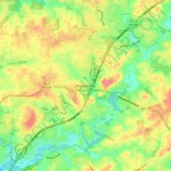
Name: Alpharetta topographic map, elevation, terrain.
Location: Alpharetta, Fulton County, Georgia, 300009, United States (34.03096 -84.31473 34.11096 -84.23473)
Average elevation: 1,066 ft
Minimum elevation: 932 ft
Maximum elevation: 1,224 ft
Fulton County trails, hiking, mountain biking, running and outdoor activities