Geolocate

Gauting topographic map

Click on the map to display elevation.

About this map

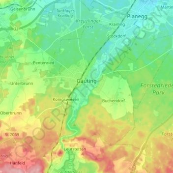
Name: Gauting topographic map, elevation, terrain.

Location: Gauting, Landkreis Starnberg, Bavaria, 82131, Germany (48.02768 11.27599 48.10133 11.42019)

Average elevation: 1,946 ft

Minimum elevation: 1,775 ft

Maximum elevation: 2,254 ft

Gear up for your next adventure:

📶Vehicle Signal Boosters - Improve reception in rural areas while driving to trailheads
🔌Solar Panel Charger - Charge gear sustainably outdoors
🪶LED Camping Lantern - Bright lantern for camp lighting
🎒Hydration Pack - Hands‑free water reservoir for long hikes
🥘Titanium Cookware - Durable, featherlight pots and pans for backpacking

As an Amazon Associate, this site earns from qualifying purchases at no extra cost to you.