
Cerro Buenos Aires topographic map
Interactive map
Click on the map to display elevation.
About this map
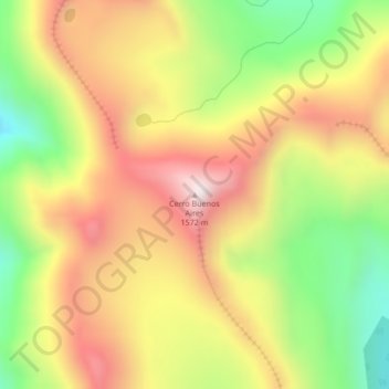
Name: Cerro Buenos Aires topographic map, elevation, terrain.
Location: Cerro Buenos Aires, Lago Argentino, Santa Cruz, Argentina (-50.39611 -72.98826 -50.39601 -72.98816)
Average elevation: 4,104 ft
Minimum elevation: 2,966 ft
Maximum elevation: 5,154 ft
Other topographic maps
Click on a map to view its topography, its elevation and its terrain.
La Estrella
La Estrella, Deseado, Santa Cruz, Argentina
Average elevation: 246 ft
Laguna del Carbón
Laguna del Carbón, Corpen Aike, Santa Cruz, Argentina
Average elevation: -335 ft
Potrero Grande
Potrero Grande, Deseado, Santa Cruz, Argentina
Average elevation: 597 ft