Geolocate

Jand topographic map

Click on the map to display elevation.

About this map

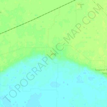
Name: Jand topographic map, elevation, terrain.

Location: Jand, Patti Tahsil, Tarn Taran District, Punjab, India (31.17739 74.68968 31.21739 74.72968)

Average elevation: 689 ft

Minimum elevation: 663 ft

Maximum elevation: 715 ft

Gear up for your next adventure:

🎒Gear Packing Cubes - Organize your backpack efficiently
👓Polarized Sunglasses - Outdoor sunglasses for glare reduction
🎁Geography Themed Gifts - Unique gift ideas for map lovers and geography enthusiasts
☀️Outdoor Sunscreen - High protection sunscreen for outdoor activities
🪶Fire Starter Kit - Reliable fire starter for survival and camping

As an Amazon Associate, this site earns from qualifying purchases at no extra cost to you.