Geolocate

Shinile topographic map

Click on the map to display elevation.

About this map

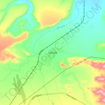
Name: Shinile topographic map, elevation, terrain.

Location: Shinile, Siti, Somali Region, Ethiopia (9.64806 41.80472 9.72806 41.88472)

Average elevation: 3,448 ft

Minimum elevation: 3,159 ft

Maximum elevation: 3,963 ft

Other topographic maps

Click on a map to view its topography, its elevation and its terrain.

Liben

Ethiopia > Somali Region

Average elevation: 2,516 ft

Gear up for your next adventure:

🏥Hiking First Aid Kits - Comprehensive medical kits for remote trail injuries
😴Insulated Sleeping Pads - Compact and warm pads for high-elevation camping
Backpacking Tents - Weight-optimized shelters for multi-day topographic surveys
🧴Hand Sanitizer - Keep hands clean while hiking
🎒Trail Energy Bars - High‑calorie bars for hiking energy

As an Amazon Associate, this site earns from qualifying purchases at no extra cost to you.