Geolocate

Nauzon topographic map

Click on the map to display elevation.

About this map
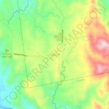
Name: Nauzon topographic map, elevation, terrain.

Location: Nauzon, Laur, Nueva Ecija, Central Luzon, 3130, Philippines (15.44573 121.12354 15.48573 121.16354)

Average elevation: 860 ft

Minimum elevation: 351 ft

Maximum elevation: 1,519 ft

Gear up for your next adventure:

🧼Biodegradable Camping Soap - Eco‑friendly soap for outdoor hygiene
🌎3D Topographic Globes - Raised relief globes for a tactile understanding of geography
🔋Solar Power Banks - Keep your GPS and phone charged in remote wilderness areas
🏫Relief Map Kits - Hands-on tools for teaching landforms and elevation
🔥Fast-Boil Camping Stoves - Efficient cooking systems for quick trail meals

As an Amazon Associate, this site earns from qualifying purchases at no extra cost to you.