
Livingston topographic map
Click on the map to display elevation.
About this map
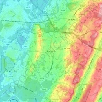
Name: Livingston topographic map, elevation, terrain.
Location: Livingston, Essex County, New Jersey, 07039, United States (40.75593 -74.35487 40.83593 -74.27487)
Average elevation: 335 ft
Minimum elevation: 154 ft
Maximum elevation: 650 ft
Essex County trails, hiking, mountain biking, running and outdoor activities