

Ulaanbaatar topographic map
Click on the map to display elevation.
Ulaanbaatar
Ulaanbaatar (/ˌuːlɑːn ˈbɑːtər/; Mongolian: Улаанбаатар, , lit. "Red Hero"), previously anglicized as Ulan Bator, is the capital and most populous city of Mongolia. The municipality is located in north central Mongolia at an elevation of about 1,300 metres (4,300 ft) in a valley on the Tuul River. The city was originally founded in 1639 as a nomadic Buddhist monastic centre, changing location 28 times, and was permanently settled at its current location in 1778.
About this map
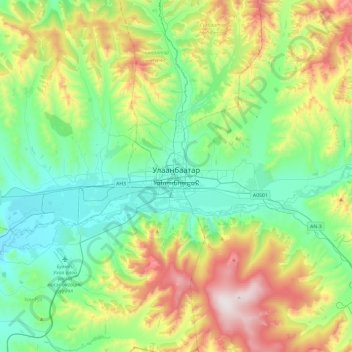
Name: Ulaanbaatar topographic map, elevation, terrain.
Location: Ulaanbaatar, 14200, Mongolia (47.75847 106.75770 48.07847 107.07770)
Average elevation: 5,056 ft
Minimum elevation: 4,072 ft
Maximum elevation: 7,405 ft