
Thank you for supporting this site ❤️
Make a donation
Make a donation
Gear up for your next adventure:
As an Amazon Associate, this site earns from qualifying purchases at no extra cost to you.
Mliba topographic map
Click on the map to display elevation.
Thank you for supporting this site ❤️
Make a donation
Make a donation
Gear up for your next adventure:
As an Amazon Associate, this site earns from qualifying purchases at no extra cost to you.
About this map
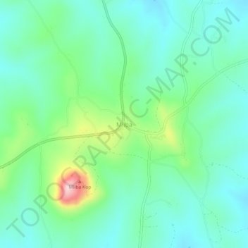
Name: Mliba topographic map, elevation, terrain.
Location: Mliba, Inkhundla Mkhiweni, Manzini, Eswatini (-26.25974 31.56273 -26.21974 31.60273)
Average elevation: 1,447 ft
Minimum elevation: 1,230 ft
Maximum elevation: 2,106 ft
Thank you for supporting this site ❤️
Make a donation
Make a donation
Gear up for your next adventure:
As an Amazon Associate, this site earns from qualifying purchases at no extra cost to you.