Geolocate

Hopewell topographic map

Click on the map to display elevation.

About this map

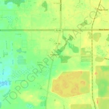
Name: Hopewell topographic map, elevation, terrain.

Location: Hopewell, Hillsborough County, Florida, 33567, United States (27.90864 -82.14370 27.94864 -82.10370)

Average elevation: 108 ft

Minimum elevation: 52 ft

Maximum elevation: 148 ft

Hillsborough County trails, hiking, mountain biking, running and outdoor activities

Gear up for your next adventure:

🔪Outdoor Multitools - Essential survival tools for gear repair and field use
🛌Ultralight Sleeping Bags - Compact down bags for cold nights in the wilderness
🚗GPS Dash Cams - Record your scenic drives through mountain passes and canyons
💧Water Purification System - Clean water on the trail with reliable purifiers
🏕️Tent Footprint - Protect your tent base from wear

As an Amazon Associate, this site earns from qualifying purchases at no extra cost to you.