Geolocate

The Alps topographic map

Click on the map to display elevation.

About this map

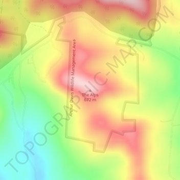
Name: The Alps topographic map, elevation, terrain.

Location: The Alps, Reading, Windsor County, Vermont, United States (43.47502 -72.63820 43.47512 -72.63810)

Average elevation: 1,808 ft

Minimum elevation: 1,375 ft

Maximum elevation: 2,198 ft

Windsor County trails, hiking, mountain biking, running and outdoor activities

Gear up for your next adventure:

🧥Men's Rain Shells - Premium waterproof and breathable jackets for mountain weather
🪶Compact Camp Shovel - Folding shovel for campsite tasks
🧤Hiking Gloves - Protective gloves for rugged trails
🪶Paracord Bracelet - Survival bracelet with built‑in tools
🧭Map Reading Tools - Tools and kits for map navigation

As an Amazon Associate, this site earns from qualifying purchases at no extra cost to you.