
Thank you for supporting this site ❤️
Make a donation
Make a donation
Gear up for your next adventure:
As an Amazon Associate, this site earns from qualifying purchases at no extra cost to you.
Merișor topographic map
Click on the map to display elevation.
Thank you for supporting this site ❤️
Make a donation
Make a donation
Gear up for your next adventure:
As an Amazon Associate, this site earns from qualifying purchases at no extra cost to you.
About this map
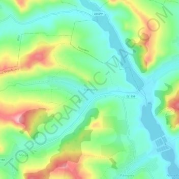
Name: Merișor topographic map, elevation, terrain.
Location: Merișor, Glodeni, Mureș, 547276, Romania (46.67921 24.52978 46.71921 24.56978)
Average elevation: 1,316 ft
Minimum elevation: 1,132 ft
Maximum elevation: 1,680 ft
Thank you for supporting this site ❤️
Make a donation
Make a donation
Gear up for your next adventure:
As an Amazon Associate, this site earns from qualifying purchases at no extra cost to you.