Geolocate

Belleville topographic map

Click on the map to display elevation.

About this map

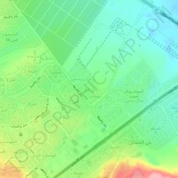
Name: Belleville topographic map, elevation, terrain.

Location: Belleville, Giza, 12588, Egypt (30.01950 30.99735 30.05950 31.03735)

Average elevation: 315 ft

Minimum elevation: 167 ft

Maximum elevation: 617 ft

Gear up for your next adventure:

🧭Orienteering Set - Complete compass and map reading kit
🚗GPS Dash Cams - Record your scenic drives through mountain passes and canyons
🔋Rechargeable Batteries - Power up your outdoor devices
🧥Men's Rain Shells - Premium waterproof and breathable jackets for mountain weather
🧢Outdoor Hiking Hat - Sun protection hat for outdoor explorers

As an Amazon Associate, this site earns from qualifying purchases at no extra cost to you.