Geolocate

Ward Basin topographic map

Click on the map to display elevation.

About this map

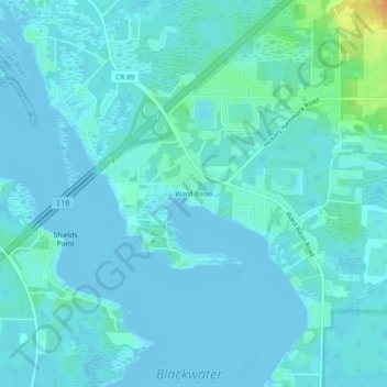
Name: Ward Basin topographic map, elevation, terrain.

Location: Ward Basin, Santa Rosa County, Florida, 32530, United States (30.56519 -87.01691 30.60519 -86.97691)

Average elevation: 13 ft

Minimum elevation: -10 ft

Maximum elevation: 112 ft

Santa Rosa County trails, hiking, mountain biking, running and outdoor activities

Gear up for your next adventure:

🛡️Bear Spray Outdoor - Protection in bear country hikes
🧭Map Reading Tools - Tools and kits for map navigation
🎒Hydration Pack - Hands‑free water reservoir for long hikes
🪶Wildlife Field Guides - Learn animal tracking and species ID
🔥Plasma Lighters - Windproof lighters that work in any weather condition

As an Amazon Associate, this site earns from qualifying purchases at no extra cost to you.