Geolocate

Hawkins topographic map

Click on the map to display elevation.

About this map

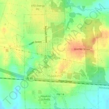
Name: Hawkins topographic map, elevation, terrain.

Location: Hawkins, Wood County, Texas, United States (32.57968 -95.21610 32.60862 -95.19032)

Average elevation: 387 ft

Minimum elevation: 312 ft

Maximum elevation: 459 ft

Wood County trails, hiking, mountain biking, running and outdoor activities

Other topographic maps

Click on a map to view its topography, its elevation and its terrain.

Perryville

United States > Texas > Wood County

Average elevation: 453 ft

Holly Lake Ranch

United States > Texas > Wood County

Average elevation: 400 ft

Gear up for your next adventure:

👟Trail Running Shoes - Lightweight shoes for trail runners
🛡️Insect Repellent - Protection against bugs during outdoor activities
🧭Hiking Compass - Precision compass for reliable navigation in the wilderness
🎒Gear Packing Cubes - Organize your backpack efficiently
🥘Titanium Cookware - Durable, featherlight pots and pans for backpacking

As an Amazon Associate, this site earns from qualifying purchases at no extra cost to you.