
Khera Bhopal topographic map
Interactive map
Click on the map to display elevation.
About this map
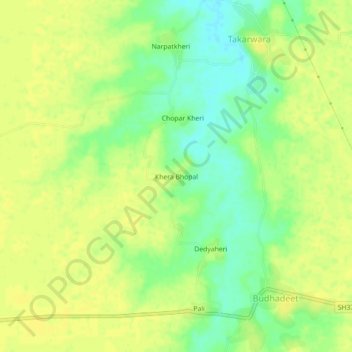
Name: Khera Bhopal topographic map, elevation, terrain.
Average elevation: 758 ft
Minimum elevation: 715 ft
Maximum elevation: 778 ft
Other topographic maps
Click on a map to view its topography, its elevation and its terrain.
Sultanpur
India > Rajasthan > Digod Tehsil
Sultanpur, Digod Tehsil, Kota District, Rajasthan, India
Average elevation: 791 ft
Seemalya
India > Rajasthan > Digod Tehsil > Seemalya
Seemalya, Digod Tehsil, Kota District, Rajasthan, India
Average elevation: 853 ft