
Thank you for supporting this site ❤️
Make a donation
Make a donation
Gear up for your next adventure:
As an Amazon Associate, this site earns from qualifying purchases at no extra cost to you.
Seemalya topographic map
Click on the map to display elevation.
Thank you for supporting this site ❤️
Make a donation
Make a donation
Gear up for your next adventure:
As an Amazon Associate, this site earns from qualifying purchases at no extra cost to you.
About this map
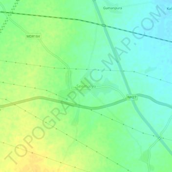
Name: Seemalya topographic map, elevation, terrain.
Location: Seemalya, Digod Tehsil, Kota District, Rajasthan, India (25.15228 76.09549 25.19228 76.13549)
Average elevation: 853 ft
Minimum elevation: 817 ft
Maximum elevation: 896 ft
Thank you for supporting this site ❤️
Make a donation
Make a donation
Gear up for your next adventure:
As an Amazon Associate, this site earns from qualifying purchases at no extra cost to you.