Geolocate

Gweru topographic map

Click on the map to display elevation.

About this map

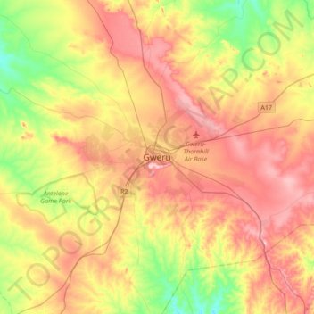
Name: Gweru topographic map, elevation, terrain.

Location: Gweru, Midlands Province, Zimbabwe (-19.62163 29.66060 -19.30163 29.98060)

Average elevation: 4,583 ft

Minimum elevation: 4,262 ft

Maximum elevation: 4,902 ft

Gear up for your next adventure:

🔦Powerful Headlamps - Ultra-bright hands-free lighting for night navigation
🎒Trekking Poles - Sturdy poles for balance and stability on rough terrain
📻Weather Alert Radios - Stay informed of storm risks while off-the-grid
🎒Outdoor Daypacks - Lightweight backpacks designed for carrying maps and essential gear
🪶Paracord Bracelet - Survival bracelet with built‑in tools

As an Amazon Associate, this site earns from qualifying purchases at no extra cost to you.