
Puentecillas topographic map
Interactive map
Click on the map to display elevation.
About this map
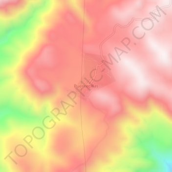
Name: Puentecillas topographic map, elevation, terrain.
Location: Puentecillas, San Dimas, Durango, México (24.29574 -105.99127 24.33574 -105.95127)
Average elevation: 8,455 ft
Minimum elevation: 6,637 ft
Maximum elevation: 9,308 ft
Other topographic maps
Click on a map to view its topography, its elevation and its terrain.