Geolocate

Krishangarh topographic map

Click on the map to display elevation.

About this map

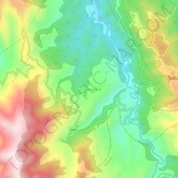
Name: Krishangarh topographic map, elevation, terrain.

Location: Krishangarh, Solan, Himachal Pradesh, 172306, India (30.95299 76.94653 30.99299 76.98653)

Average elevation: 3,629 ft

Minimum elevation: 2,802 ft

Maximum elevation: 4,793 ft

Gear up for your next adventure:

🏫Relief Map Kits - Hands-on tools for teaching landforms and elevation
Solar GPS Watches - Advanced multisport watches with built-in topographic maps
🔭Compact Binoculars - HD vision for scouting terrain and identifying distant landmarks
🥾Men's Hiking Boots - Durable, waterproof footwear for rugged terrain and steep inclines
🪶Camping Sleeping Pad - Comfortable sleeping pad for backpacking

As an Amazon Associate, this site earns from qualifying purchases at no extra cost to you.