
Make a donation
Gear up for your next adventure:
As an Amazon Associate, this site earns from qualifying purchases at no extra cost to you.
Suratgarh topographic map
Click on the map to display elevation.
Make a donation
Gear up for your next adventure:
As an Amazon Associate, this site earns from qualifying purchases at no extra cost to you.
Suratgarh
Suratgarh is located at 29°19′04″N 73°53′56″E / 29.317701°N 73.898935°E / 29.317701; 73.898935. It has an average elevation of 168 metres (551) feet. It is a Northern Part of Thar desert. Seasonal Ghaghar river runs through Northern part of tehsil. Suratgarh has Greenary in Northern part and Desert called tibba in southern part. From tibbas near Hanuman khejri and Manaksar this difference can be seen.
Make a donation
Gear up for your next adventure:
As an Amazon Associate, this site earns from qualifying purchases at no extra cost to you.
About this map
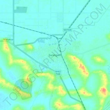
Name: Suratgarh topographic map, elevation, terrain.
Average elevation: 581 ft
Minimum elevation: 548 ft
Maximum elevation: 712 ft
Make a donation
Gear up for your next adventure:
As an Amazon Associate, this site earns from qualifying purchases at no extra cost to you.