Geolocate

Naples topographic map

Click on the map to display elevation.

About this map

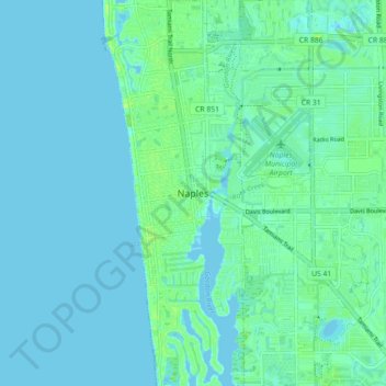
Name: Naples topographic map, elevation, terrain.

Location: Naples, Collier County, Florida, 34102-6369, United States (26.10220 -81.83429 26.18220 -81.75429)

Average elevation: 10 ft

Minimum elevation: -3 ft

Maximum elevation: 39 ft

Collier County trails, hiking, mountain biking, running and outdoor activities

Gear up for your next adventure:

🌡️Portable Weather Meter - Track weather conditions on the trail
🎒Day Hiking Backpack - Lightweight backpack perfect for day trips and outdoor adventures
🖼️Topo Map Wall Art - Decorative topographic prints of famous peaks and regions
🧣Hiking Neck Gaiter - Multi‑use neck protection for outdoor weather
💧Water Purification System - Clean water on the trail with reliable purifiers

As an Amazon Associate, this site earns from qualifying purchases at no extra cost to you.