
Make a donation
Gear up for your next adventure:
As an Amazon Associate, this site earns from qualifying purchases at no extra cost to you.
Lickey Hills Country Park topographic map
Click on the map to display elevation.
Make a donation
Gear up for your next adventure:
As an Amazon Associate, this site earns from qualifying purchases at no extra cost to you.
Lickey Hills Country Park
The visitor centre, which first opened in April 1990, contains an exhibition, leaflets and information on nature trails, guided walks and other activities organised by the Ranger Service. It also has a small café and gift shop. There are three car parks, one for the visitor centre, one by the golf club house and another on the top of Beacon Hill. Also next to the visitor centre are a children's play area and paths for disabled visitors, although these are limited by the steep topography within the park. Between the Bilberry, Beacon and Rednal Hills stands The Rose & Crown hotel and public house which serves meals daily including Sunday lunches.
Make a donation
Gear up for your next adventure:
As an Amazon Associate, this site earns from qualifying purchases at no extra cost to you.
About this map
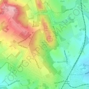
Name: Lickey Hills Country Park topographic map, elevation, terrain.
Average elevation: 682 ft
Minimum elevation: 469 ft
Maximum elevation: 978 ft
Make a donation
Gear up for your next adventure:
As an Amazon Associate, this site earns from qualifying purchases at no extra cost to you.