
商丘市 topographic map
Interactive map
Click on the map to display elevation.
About this map
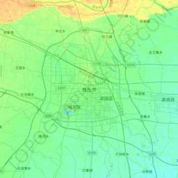
Name: 商丘市 topographic map, elevation, terrain.
Location: 商丘市, 睢阳区, 商丘市, 河南省, 中国 (34.25710 115.49086 34.57710 115.81086)
Average elevation: 167 ft
Minimum elevation: 144 ft
Maximum elevation: 220 ft
Other topographic maps
Click on a map to view its topography, its elevation and its terrain.