
梁园区 topographic map
Interactive map
Click on the map to display elevation.
About this map
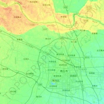
Name: 梁园区 topographic map, elevation, terrain.
Location: 梁园区, 商丘市, 河南省, 中国 (34.31814 115.39033 34.63823 115.80193)
Average elevation: 177 ft
Minimum elevation: 144 ft
Maximum elevation: 226 ft
Other topographic maps
Click on a map to view its topography, its elevation and its terrain.