
Weismain topographic map
Interactive map
Click on the map to display elevation.
About this map
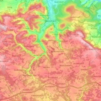
Name: Weismain topographic map, elevation, terrain.
Location: Weismain, Landkreis Lichtenfels, Bavaria, 96260, Germany (49.98955 11.14433 50.10999 11.32430)
Average elevation: 1,476 ft
Minimum elevation: 938 ft
Maximum elevation: 1,834 ft