Geolocate

Belgern topographic map

Click on the map to display elevation.

About this map

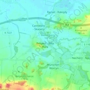
Name: Belgern topographic map, elevation, terrain.

Location: Belgern, Weißenberg, Bautzen, Sachsen, 02627, Deutschland (51.17955 14.55276 51.21955 14.59276)

Average elevation: 525 ft

Minimum elevation: 486 ft

Maximum elevation: 666 ft

Gear up for your next adventure:

🥄Camping Utensil Set - Lightweight utensils for outdoor meals
👖Convertible Hiking Pants - Versatile zip-off pants for changing altitudes and temperatures
🪵Folding Camp Saw - Compact saw for wood and campsite work
🏥Hiking First Aid Kits - Comprehensive medical kits for remote trail injuries
📷Action Camera - Capture your outdoor adventures in HD

As an Amazon Associate, this site earns from qualifying purchases at no extra cost to you.