Geolocate

Biloxi topographic map

Click on the map to display elevation.

About this map

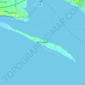
Name: Biloxi topographic map, elevation, terrain.

Location: Biloxi, Harrison County, Mississippi, United States (30.35945 -88.88612 30.38988 -88.81709)

Average elevation: 3 ft

Minimum elevation: -7 ft

Maximum elevation: 46 ft

Harrison County trails, hiking, mountain biking, running and outdoor activities

Gear up for your next adventure:

🛶Inflatable Kayak - Portable kayak for rivers, lakes, and expeditions
🧷Carabiner Set - Durable clips for gear attachment
🔥Camping Stove - Portable stove for camping and backcountry cooking
🦟Ultrasonic Repellers - Create a bug-free zone at your camp or rest stop
🪶Thermal Camp Blanket - Extra warmth for cold nights

As an Amazon Associate, this site earns from qualifying purchases at no extra cost to you.