Geolocate

St. Johns topographic map

Click on the map to display elevation.

About this map

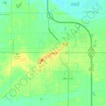
Name: St. Johns topographic map, elevation, terrain.

Location: St. Johns, Clinton County, Michigan, 48879, United States (42.96093 -84.59851 43.04093 -84.51851)

Average elevation: 751 ft

Minimum elevation: 702 ft

Maximum elevation: 837 ft

Clinton County trails, hiking, mountain biking, running and outdoor activities

Gear up for your next adventure:

🏫Relief Map Kits - Hands-on tools for teaching landforms and elevation
📦Gear Storage Bags - Organize and protect outdoor equipment
💧Water Purification System - Clean water on the trail with reliable purifiers
🛰️Handheld GPS Units - Professional satellite navigators for precise backcountry mapping
🥾Hiking Shoes - Durable and comfortable shoes for trail hiking

As an Amazon Associate, this site earns from qualifying purchases at no extra cost to you.