Geolocate

Pangoa topographic map

Click on the map to display elevation.

About this map
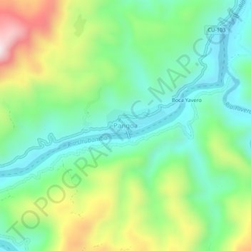
Name: Pangoa topographic map, elevation, terrain.

Location: Pangoa, Echarate, La Convención, Cusco, Perú (-12.38185 -72.90758 -12.34185 -72.86758)

Average elevation: 2,159 ft

Minimum elevation: 1,490 ft

Maximum elevation: 3,524 ft

Gear up for your next adventure:

🪶Multi‑Purpose Knife - Useful blade for camp and trail
🎒Hydration Pack - Hands‑free water reservoir for long hikes
🪑Ultralight Camp Chairs - Portable seating for resting after a long day of mapping
🪶Wildlife Field Guides - Learn animal tracking and species ID
🏫Relief Map Kits - Hands-on tools for teaching landforms and elevation

As an Amazon Associate, this site earns from qualifying purchases at no extra cost to you.