
Umangan topographic map
Click on the map to display elevation.
About this map
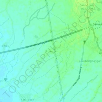
Name: Umangan topographic map, elevation, terrain.
Location: Umangan, Nueva Ecija, Central Luzon, Philippines (15.49946 120.89832 15.53946 120.93832)
Average elevation: 105 ft
Minimum elevation: 89 ft
Maximum elevation: 128 ft