
Thank you for supporting this site ❤️
Make a donation
Make a donation
Gear up for your next adventure:
As an Amazon Associate, this site earns from qualifying purchases at no extra cost to you.
Sanglakoti topographic map
Click on the map to display elevation.
Thank you for supporting this site ❤️
Make a donation
Make a donation
Gear up for your next adventure:
As an Amazon Associate, this site earns from qualifying purchases at no extra cost to you.
About this map
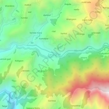
Name: Sanglakoti topographic map, elevation, terrain.
Location: Sanglakoti, Chaubatta Khal, Pauri Garhwal, Uttarakhand, India (29.87929 78.83575 29.91929 78.87575)
Average elevation: 4,085 ft
Minimum elevation: 2,628 ft
Maximum elevation: 6,519 ft
Thank you for supporting this site ❤️
Make a donation
Make a donation
Gear up for your next adventure:
As an Amazon Associate, this site earns from qualifying purchases at no extra cost to you.