
Thank you for supporting this site ❤️
Make a donation
Make a donation
Gear up for your next adventure:
As an Amazon Associate, this site earns from qualifying purchases at no extra cost to you.
Fonfría topographic map
Click on the map to display elevation.
Thank you for supporting this site ❤️
Make a donation
Make a donation
Gear up for your next adventure:
As an Amazon Associate, this site earns from qualifying purchases at no extra cost to you.
About this map
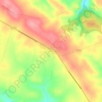
Name: Fonfría topographic map, elevation, terrain.
Location: Fonfría, Zamora, Castile and León, Spain (41.61613 -6.15949 41.65613 -6.11949)
Average elevation: 2,651 ft
Minimum elevation: 2,438 ft
Maximum elevation: 2,802 ft
Thank you for supporting this site ❤️
Make a donation
Make a donation
Gear up for your next adventure:
As an Amazon Associate, this site earns from qualifying purchases at no extra cost to you.