Geolocate

Batasan topographic map

Click on the map to display elevation.

About this map

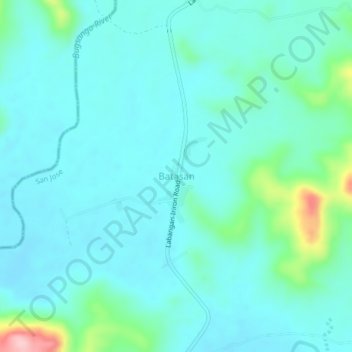
Name: Batasan topographic map, elevation, terrain.

Location: Batasan, San Jose, Occidental Mindoro, Mimaropa, Philippines (12.49090 121.09909 12.53090 121.13909)

Average elevation: 243 ft

Minimum elevation: 141 ft

Maximum elevation: 761 ft

Other topographic maps

Click on a map to view its topography, its elevation and its terrain.

Labangan

Philippines > Occidental Mindoro > San Jose > Mabini

Average elevation: 13 ft

Barangay 4

Philippines > Occidental Mindoro > San Jose

Average elevation: 10 ft

Bagong Sikat

Philippines > Occidental Mindoro > San Jose

Average elevation: 20 ft

Barangay 5

Philippines > Occidental Mindoro > San Jose

Average elevation: 10 ft

Bagong Sikat

Philippines > Occidental Mindoro > San Jose

Average elevation: 20 ft

Gear up for your next adventure:

🔭Stargazing Telescopes - Perfect for camping in low-light pollution areas shown on maps
🧭Compass with Lanyard - Easy‑carry compass for navigation
💧Water Purification System - Clean water on the trail with reliable purifiers
📷Action Camera - Capture your outdoor adventures in HD
Backpacking Tents - Weight-optimized shelters for multi-day topographic surveys

As an Amazon Associate, this site earns from qualifying purchases at no extra cost to you.