
Grayback topographic map
Click on the map to display elevation.
About this map
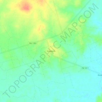
Name: Grayback topographic map, elevation, terrain.
Location: Grayback, Wilbarger County, Texas, United States (33.97065 -99.19424 34.01065 -99.15424)
Average elevation: 1,152 ft
Minimum elevation: 1,102 ft
Maximum elevation: 1,243 ft
Wilbarger County trails, hiking, mountain biking, running and outdoor activities
Other topographic maps
Click on a map to view its topography, its elevation and its terrain.