Geolocate

Albero topographic map

Click on the map to display elevation.

About this map

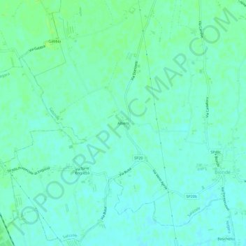
Name: Albero topographic map, elevation, terrain.

Location: Albero, Salizzole, Verona, Veneto, 37054, Italia (45.19795 11.05407 45.23795 11.09407)

Average elevation: 69 ft

Minimum elevation: 56 ft

Maximum elevation: 89 ft

Gear up for your next adventure:

🧭Pro Hiking Compasses - High-accuracy liquid-filled compasses for topographic orientation
🪶Multi‑Purpose Knife - Useful blade for camp and trail
🎒Trail Energy Bars - High‑calorie bars for hiking energy
🔌USB Car Charger - Car charger for on‑the‑go power needs
🎁Geography Themed Gifts - Unique gift ideas for map lovers and geography enthusiasts

As an Amazon Associate, this site earns from qualifying purchases at no extra cost to you.