
Big Spring topographic map
Click on the map to display elevation.
About this map
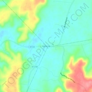
Name: Big Spring topographic map, elevation, terrain.
Location: Big Spring, Breckinridge County, Kentucky, United States (37.77923 -86.17219 37.81923 -86.13219)
Average elevation: 755 ft
Minimum elevation: 653 ft
Maximum elevation: 971 ft
Breckinridge County trails, hiking, mountain biking, running and outdoor activities
Other topographic maps
Click on a map to view its topography, its elevation and its terrain.