
Murchante topographic map
Click on the map to display elevation.
About this map
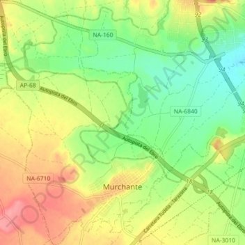
Name: Murchante topographic map, elevation, terrain.
Location: Murchante, Erribera / Ribera, 31521, Spain (42.01847 -1.69171 42.07120 -1.64358)
Average elevation: 1,007 ft
Minimum elevation: 883 ft
Maximum elevation: 1,152 ft