
Bucksport topographic map
Click on the map to display elevation.
About this map
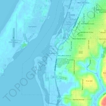
Name: Bucksport topographic map, elevation, terrain.
Average elevation: 26 ft
Minimum elevation: -20 ft
Maximum elevation: 184 ft
Humboldt County trails, hiking, mountain biking, running and outdoor activities
Other topographic maps
Click on a map to view its topography, its elevation and its terrain.
Redwood Forest - Backyards
United States > California > Humboldt County > Eureka
Average elevation: 95 ft