
Gasa District topographic map
Interactive map
Click on the map to display elevation.
About this map
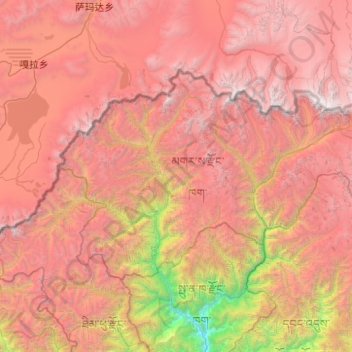
Name: Gasa District topographic map, elevation, terrain.
Location: Gasa District, Bhutan (27.71529 89.45053 28.24699 90.44286)
Average elevation: 14,426 ft
Minimum elevation: 3,973 ft
Maximum elevation: 23,406 ft
Other topographic maps
Click on a map to view its topography, its elevation and its terrain.