
Audubon Park topographic map
Interactive map
Click on the map to display elevation.
About this map
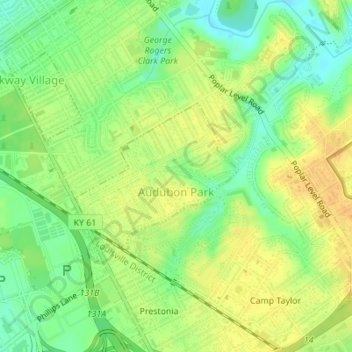
Name: Audubon Park topographic map, elevation, terrain.
Location: Audubon Park, Jefferson County, Kentucky, United States (38.19950 -85.73516 38.21079 -85.71914)
Average elevation: 509 ft
Minimum elevation: 456 ft
Maximum elevation: 548 ft
Jefferson County trails, hiking, mountain biking, running and outdoor activities