Geolocate

Avery topographic map

Click on the map to display elevation.

About this map

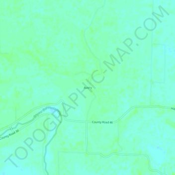
Name: Avery topographic map, elevation, terrain.

Location: Avery, Lincoln County, Arkansas, United States (33.90982 -91.67707 33.94982 -91.63707)

Average elevation: 174 ft

Minimum elevation: 161 ft

Maximum elevation: 190 ft

Lincoln County trails, hiking, mountain biking, running and outdoor activities

Other topographic maps

Click on a map to view its topography, its elevation and its terrain.

Star City

United States > Arkansas > Lincoln County

Average elevation: 289 ft

Gear up for your next adventure:

🪶Camp Gear Gift Set - Perfect gift bundle for outdoor fans
🛡️Bear Spray Outdoor - Protection in bear country hikes
🧷Carabiner Set - Durable clips for gear attachment
🔥Plasma Lighters - Windproof lighters that work in any weather condition
📖Nature Tracking Books - Learn to track wildlife and terrain

As an Amazon Associate, this site earns from qualifying purchases at no extra cost to you.