Geolocate

Awlad `Isa topographic map

Click on the map to display elevation.

About this map

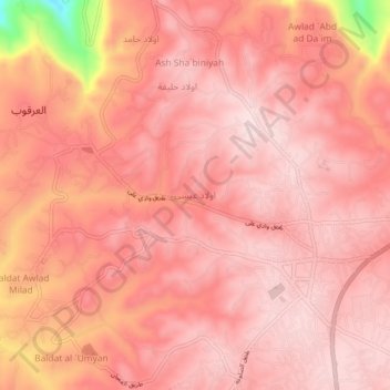
Name: Awlad `Isa topographic map, elevation, terrain.

Location: Awlad `Isa, Jabal al Gharbi, Libya (31.91766 12.21807 31.95766 12.25807)

Average elevation: 2,198 ft

Minimum elevation: 1,385 ft

Maximum elevation: 2,388 ft

Other topographic maps

Click on a map to view its topography, its elevation and its terrain.

Az-zintan

Libya > Jabal al Gharbi

Average elevation: 2,297 ft

Az-zintan

Libya > Jabal al Gharbi

Average elevation: 2,297 ft

Gear up for your next adventure:

🧤Tactile Hiking Gloves - Keep hands warm while operating GPS and smartphone screens
🪑Portable Camp Table - Compact table for campsite meals
🗻Climbing Gear Basics - Essential gear for beginner climbers
Backpacking Tents - Weight-optimized shelters for multi-day topographic surveys
🗺️Topographic Maps - Detailed topo maps for hiking, exploring and outdoor navigation

As an Amazon Associate, this site earns from qualifying purchases at no extra cost to you.