Geolocate

Elk Point topographic map

Click on the map to display elevation.

About this map

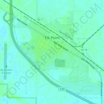
Name: Elk Point topographic map, elevation, terrain.

Location: Elk Point, Elk Point Township, Union County, South Dakota, United States (42.67044 -96.69661 42.69426 -96.66486)

Average elevation: 1,125 ft

Minimum elevation: 1,112 ft

Maximum elevation: 1,142 ft

Union County trails, hiking, mountain biking, running and outdoor activities

Other topographic maps

Click on a map to view its topography, its elevation and its terrain.

Dakota Dunes

United States > South Dakota > Union County

Average elevation: 1,119 ft

Gear up for your next adventure:

🥾Men's Hiking Boots - Durable, waterproof footwear for rugged terrain and steep inclines
🌄Hiking Binoculars - Compact binoculars for scenic views and trail spotting
🛌Ultralight Sleeping Bags - Compact down bags for cold nights in the wilderness
🦟Ultrasonic Repellers - Create a bug-free zone at your camp or rest stop
🛠️Outdoor Gear Repair Kit - Essential tools to fix gear on the trail

As an Amazon Associate, this site earns from qualifying purchases at no extra cost to you.