Geolocate

Villa Musone topographic map

Click on the map to display elevation.

About this map

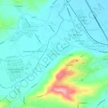
Name: Villa Musone topographic map, elevation, terrain.

Location: Villa Musone, Loreto, Ancona, Marche, 60025, Italia (43.42352 13.57910 43.46352 13.61910)

Average elevation: 125 ft

Minimum elevation: 3 ft

Maximum elevation: 604 ft

Gear up for your next adventure:

🧭Pro Hiking Compasses - High-accuracy liquid-filled compasses for topographic orientation
🪶Wildlife Field Guides - Learn animal tracking and species ID
🧯Emergency Survival Kit - All‑in‑one survival essentials for the backcountry
🗺️NatGeo Topo Maps - High-quality waterproof printed topographic maps of US Parks
🏔️Mountain Trail Maps - High‑detail maps for popular peaks

As an Amazon Associate, this site earns from qualifying purchases at no extra cost to you.