
сельское поселение Безенги topographic map
Interactive map
Click on the map to display elevation.
About this map
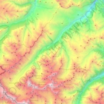
Name: сельское поселение Безенги topographic map, elevation, terrain.
Average elevation: 9,334 ft
Minimum elevation: 3,681 ft
Maximum elevation: 17,087 ft