Geolocate

Marchula topographic map

Click on the map to display elevation.

About this map

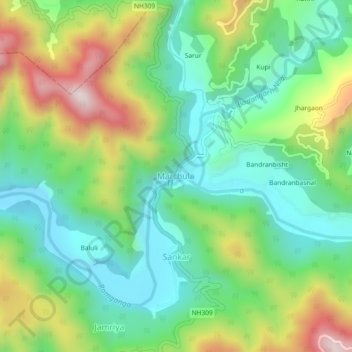
Name: Marchula topographic map, elevation, terrain.

Location: Marchula, Molekhal, Almora, Uttarakhand, India (29.58678 79.07333 29.62678 79.11333)

Average elevation: 2,408 ft

Minimum elevation: 1,686 ft

Maximum elevation: 3,773 ft

Gear up for your next adventure:

🛡️Bear Spray Outdoor - Protection in bear country hikes
🏔️Mountain Trail Maps - High‑detail maps for popular peaks
🌧️Backpack Rain Cover - Keep gear dry in wet weather
🥤Water Filter Bottle - All‑in‑one filter bottle for safe hydration
🔌USB Car Charger - Car charger for on‑the‑go power needs

As an Amazon Associate, this site earns from qualifying purchases at no extra cost to you.