
金关 topographic map
Interactive map
Click on the map to display elevation.
About this map
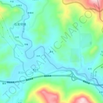
Name: 金关 topographic map, elevation, terrain.
Location: 金关, 华坪县, 丽江市, 云南省, 中国 (26.55413 101.35537 26.59413 101.39537)
Average elevation: 3,786 ft
Minimum elevation: 3,491 ft
Maximum elevation: 4,701 ft
Other topographic maps
Click on a map to view its topography, its elevation and its terrain.