
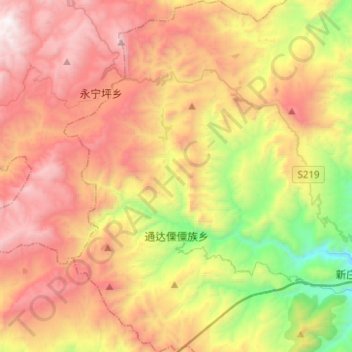
通达 topographic map
Interactive map
Click on the map to display elevation.
About this map
Name: 通达 topographic map, elevation, terrain.
Location: 通达, 华坪县, 丽江市, 云南省, 中国 (26.54041 100.97666 26.76279 101.10420)
Average elevation: 7,533 ft
Minimum elevation: 3,907 ft
Maximum elevation: 11,194 ft
通达傈僳族乡位于华坪县西部。最低海拔1562米,最高海拔3198.3米。
Other topographic maps
Click on a map to view its topography, its elevation and its terrain.