
Ligno topographic map
Interactive map
Click on the map to display elevation.
About this map
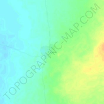
Name: Ligno topographic map, elevation, terrain.
Location: Ligno, Salamat, Tchad (11.52511 19.49317 11.56511 19.53317)
Average elevation: 1,460 ft
Minimum elevation: 1,424 ft
Maximum elevation: 1,516 ft
Other topographic maps
Click on a map to view its topography, its elevation and its terrain.
Parc National de Zakouma
Parc National de Zakouma, Am Timan, Salamat, Tchad
Average elevation: 1,368 ft